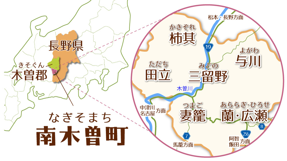
長野県の南西部、木曽谷の南端に位置する南木曽町。94%が森林で占められており、うち7割が国有林です。
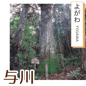
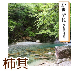
町の中央には木曽川が流れており、与川、北部(柿其)、三留野、妻籠、蘭、広瀬、田立の7地域が広がっています。
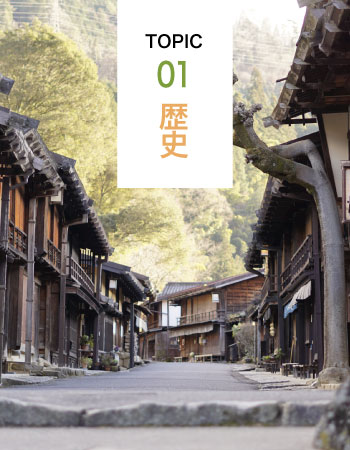
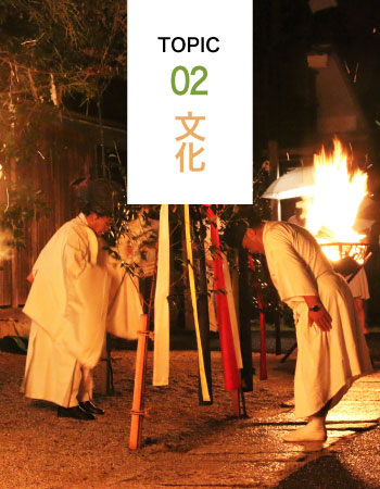
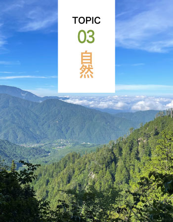
“木曽路はすべて山の中である”という藤村文学の名作「夜明け前」の冒頭を具現する中山道をはじめ、様々な歴史や文化、自然であふれる町です。


長野県の南西部、木曽谷の南端に位置する南木曽町。94%が森林で占められており、うち7割が国有林です。
町の中央には木曽川が流れており、与川、北部(柿其)、三留野、妻籠、蘭、広瀬、田立の7地域が広がっています。
“木曽路はすべて山の中である”という藤村文学の名作「夜明け前」の冒頭を具現する中山道をはじめ、様々な歴史や文化、自然であふれる町です。

FEATURE
01
FEATURE
02
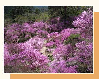
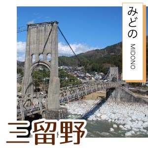
三留野宿と野尻宿(大桑村)を結ぶ与川道はその昔、水害で通行できない中山道本道の迂回路でもありました。等覚寺の円空仏、阿弥陀堂の石仏群、紅葉の名所でもある松原御小休所まつばらおこやすみじょなど、歴史
FEATURE
03
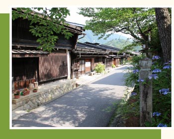
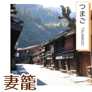
江戸から数えると中山道四十二番目の宿場で、木曽の宿場町の中でも最も保存状態が良く、家並みが残されています。それは江戸と現代とを結んでいるかのように。まぎれ込む時空感。中山道を行けば立ち
FEATURE
04
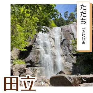
約8kmにわたって、滝あり瀬ありの変化に富んだ美しい渓谷。一般には十二兼駅から自然歩道を通って牛ヶ滝まで4.5km、さらに奥へは林道を歩いて行きます。木曽路の中でも特に美しいといわれるほどの清
| 電車 | 名古屋駅から特急1時間/普通2時間【中津川駅乗り換え】 |
|---|---|
| 塩尻駅から特急約50分/普通約1時間40分 | |
| 東京駅から最速2時間50分 | |
| 車 | 中津川ICから30分 |
| 飯田山本ICから50分 | |
| 伊那ICから約1時間30分 | |
| 塩尻ICから約1時間40分 |
| 長野県立木曽病院 0264-22-2703 |
総合病院 中津川市民病院 0573-66-1251 |
