 |  |  |
 |  |  |
 |  |  |
| | |
| | |
| | |
Tourist Information and Information Map PDF |
Please download and read it at your leisure. Adobe Acrobat Reader is required.
| Thumbnail Image |
|---|
 |
| Contents |
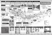
| A map detailing the center of Tsumago district and the important traditional buildings, the Tsumago Post Town Preservation Area, and the O-tsumago district. (A3 size) |
| Thumbnail Image |
|---|
 |
| Contents |
| A guide map covering the area from the important traditional buildings of Tsumago Post Town to Magome Post Town. It also contains contact details for shops in the area. (A3 size) |
*Pamphlet is in Japanese.
| Thumbnail Image |
|---|
 |
| Contents |
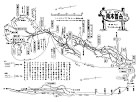
| A trail map for hiking Mt. Nagiso from the Araragi foothills. |
*Pamphlet is in Japanese.
| Thumbnail Image |
|---|
 |
| Contents |
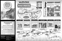
| A guide map covering the ‘Road of History,’ starting from Nagiso Station, passing though Tsumago Post Town, and on to Magome Post Town. (Full color printing, A3 size) |
*Pamphlet is in Japanese.
| Thumbnail Image |
|---|
 |
| Contents |
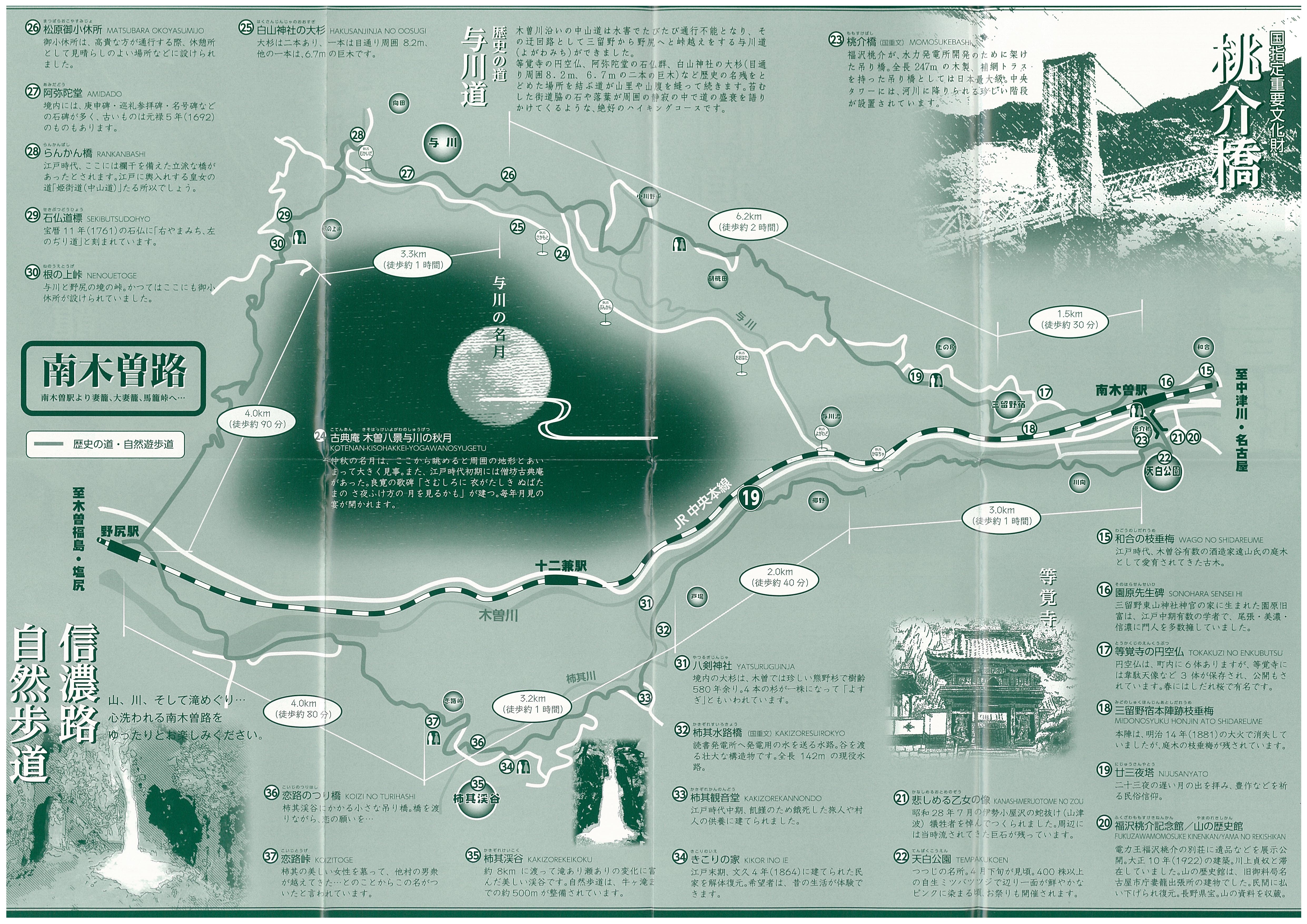
| A guide map detailing the ‘Road of History’ from Nagiso Station, through Midono Post Town to Nojiri Station, and the ‘Shinanoji Nature Trail’ (Kawanishi Kodo) that passes the Momosuke Bridge and the Kakizore Gorge leading to Nojiri Station. (Full color printing, A3 size) |
*Pamphlet is in Japanese.
*Pamphlet is in Japanese.
| Thumbnail Image |
|---|
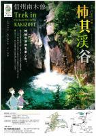 |
| Contents |
| A tourism map detailing the Kakizore Gorge and its surrounding area. * When printing, please select the Shrink oversized pages option under Page Sizing & Handling, and the Auto portrait/landscape option under Orientation. |
*Pamphlet is in Japanese.
*Pamphlet is in Japanese.
| Thumbnail Image |
|---|
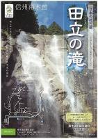 |
| Contents |
| Tadachi Falls Hiking Map & Information on Surrounding Facilities. |
Adobe Acrobat Reader is required to view the above illustrations.![]()
| Link Guidelines | Privacy Policy | Sitemap |
| Nagiso Town Tourism Association |
Copyright1997 Nagiso Town. |